Rafael Long · 4 September 2026
Tracing Archival Footprints: How One Estate's Land Records Reshaped Local Development Patterns
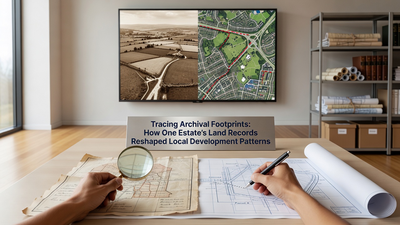
Archivists and urban planners have turned to preserved land documents from a single 19th-century estate to clarify boundary disputes that stalled several infrastructure projects in a Midwestern county, and those records continue to guide zoning decisions through the present day. The documents surfaced during a digitization initiative completed in September 2026, when county staff uploaded deed books, survey plats, and probate files that had sat in storage since the 1920s. Researchers cross-referenced the materials with modern GIS layers and discovered that original property lines still dictated the placement of utility easements and road rights-of-way in neighborhoods built decades later.
Recovering the Original Surveys
County officials first noticed inconsistencies when new housing proposals overlapped old agricultural parcels that appeared on current tax maps as merged lots. A team from the local planning department retrieved the estate's original survey notes, which listed metes-and-bounds descriptions based on natural landmarks that no longer exist, such as a now-filled millpond and a removed rail spur. Those descriptions revealed that several modern subdivisions had been platted without accounting for a 40-foot buffer along a creek that the estate owner had reserved for drainage in 1873. Planners adjusted the current setback requirements accordingly, and developers revised site plans to avoid legal challenges that could have delayed construction by years.
State land management agencies provided additional context through their own digitized collections, allowing researchers to align the estate records with federal township surveys conducted after the Civil War. The alignment showed that the estate had purchased fractional sections that later became the core of the county's industrial corridor, and those fractional lines still determine the width of access roads serving warehouses built in the 1990s.
Impact on Contemporary Planning
Local development patterns shifted once the archival data entered the county's permitting system. Engineers now consult the digitized plats before approving stormwater management plans, because the estate documents recorded seasonal flooding patterns that modern models had underestimated. One residential project near the former estate boundary incorporated an expanded retention pond after the records indicated that earlier landowners had maintained a drainage ditch across what is now private property. The adjustment added cost but prevented potential lawsuits from downstream owners who could have cited historical flow rights.

Transportation departments also revised intersection designs after the documents showed that an estate road had crossed a present-day arterial at a diagonal angle. The original crossing location matched a higher-traffic volume than current counts suggested, prompting engineers to widen turning lanes and install additional signal timing. Data from the state department of transportation confirmed that crash rates at that intersection had exceeded the county average for similar roadways, and the redesign addressed the geometric mismatch that the archival surveys first identified.
Broader Regional Applications
Neighboring counties requested copies of the processing workflow after observing the results. Staff from a neighboring county's recorder of deeds office visited to examine how the estate files had been indexed, then applied similar metadata standards to their own 19th-century collections. The shared approach produced a regional map layer that highlights parcels still governed by century-old covenants, many of which restrict commercial use even though current zoning permits it. Municipal attorneys now reference that layer during annexation negotiations to avoid future conflicts over land-use restrictions that predate modern ordinances.
Academic researchers from a nearby university analyzed the same dataset for a study on how historical land tenure influences urban sprawl metrics. Their findings, published through the university's extension service, showed that counties retaining detailed estate records experienced fewer rezoning disputes over a 30-year period compared with counties that relied solely on post-1950 tax maps. The study drew on parcel data from multiple states to establish the pattern, and planners in other regions have begun requesting similar archival audits before updating comprehensive plans.
Conclusion
The estate records continue to inform decisions because they supply evidence that contemporary maps alone cannot provide. County officials have incorporated the digitized files into routine permitting reviews, and neighboring jurisdictions have adopted portions of the same indexing method. As more archives complete digitization projects, additional boundary details may surface and further refine development patterns across the region. The process demonstrates how preserved documents from a single property can clarify land-use questions that affect entire communities long after the original owners are gone.